


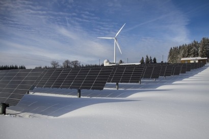


Atlas details economic risks of hail damage to US solar sites
VDE Americas’ new hail risk atlas, now available for use on the Esri ArcGIS platform, can compare and evaluate the site-specific hail risk of current and future solar projects across the United States.

VDE Americas’ new hail risk atlas, now available for use on the Esri ArcGIS platform, can compare and evaluate the site-specific hail risk of current and future solar projects across the United States.
VDE Americas, a subsidiary of European technology organization VDE Group, has launched a hail risk atlas covering the United States.
The atlas, designed to forecast the economic risk of solar assets due to hail loss, is the latest in VDE’s suite of hail risk intelligence products for solar developers, insurances and investors. It is available for use on the Esri ArcGIS platform.
The atlas utilizes proprietary test data and on-site forensics to model the hail resiliency of solar modules and the effect of mounting system tilt angles. It also uses computer modeling coupled with ground-based radar and observational data to produce a range of hail risk maps and intelligence for assessing the risk of loss caused by hail.
The program also features return intervals maps predicting the probability of hailstorms over a range of maximum hailstone sizes, and probable maximum loss and average annual loss estimates, which can be used to assess the hail risk for both new and operational solar projects.
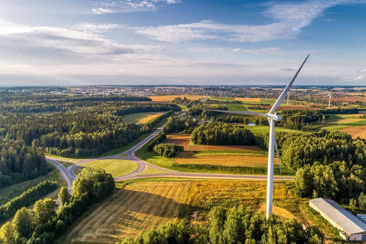
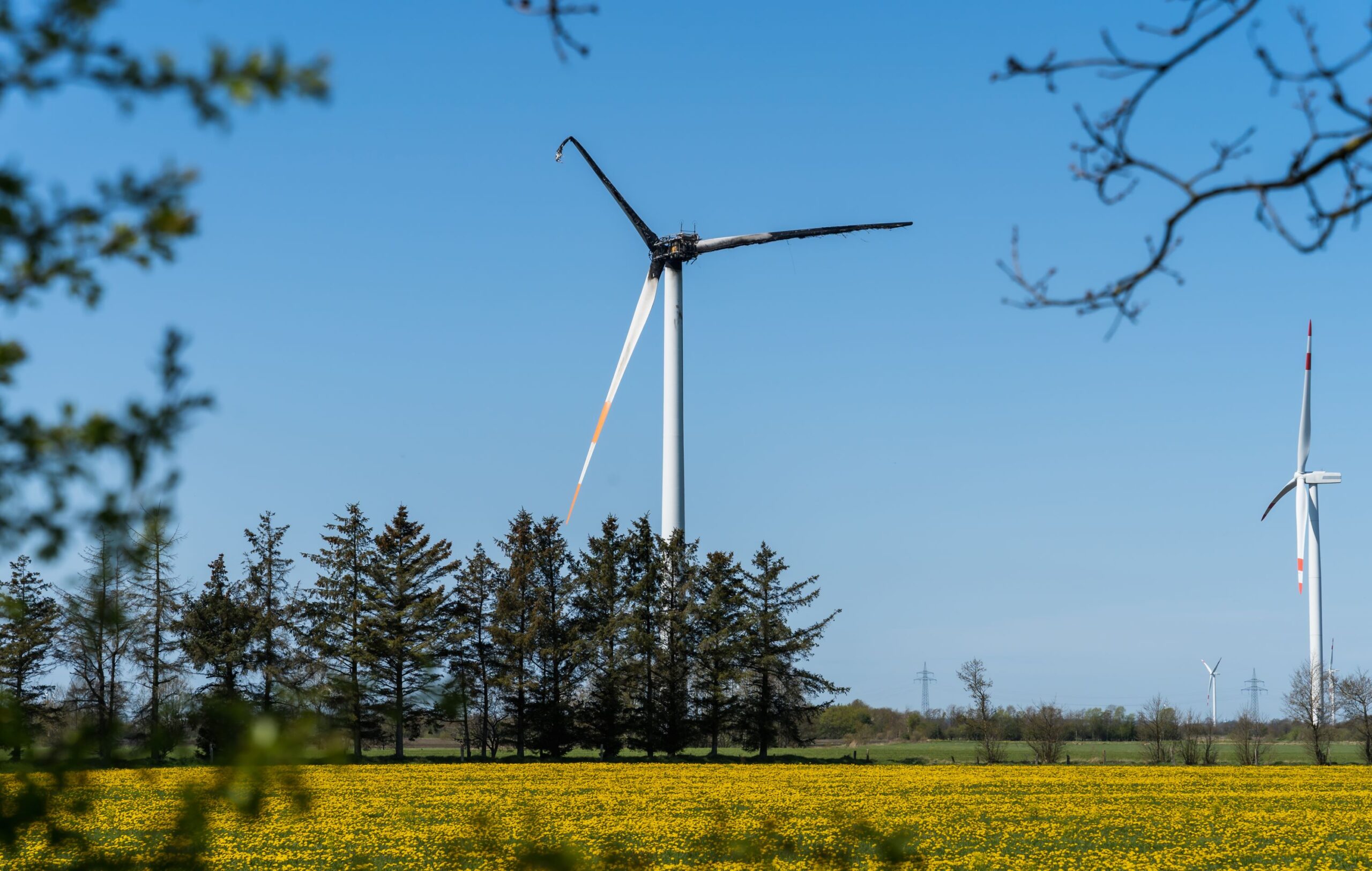
VDE Americas says severe hail events have caused hundreds of millions of dollars of damage to US solar infrastructure, with the majority of utility-scale solar plants in the states located in high-risk areas.
John Sedgwick, VDE Americas President, said that when speaking to high-value solar asset owners it's clear the hail risk to the infrastructure is often unknown.
“North America’s solar energy infrastructure is dramatically underprepared for catastrophic events like hail,” Sedgwick added. “We believe this level of weather mapping represents a huge step forward in how we can adapt to and mitigate extreme weather losses and gives the energy industry a new tool in its asset protection arsenal.”
What's Your Reaction?